 Image 1 of 2
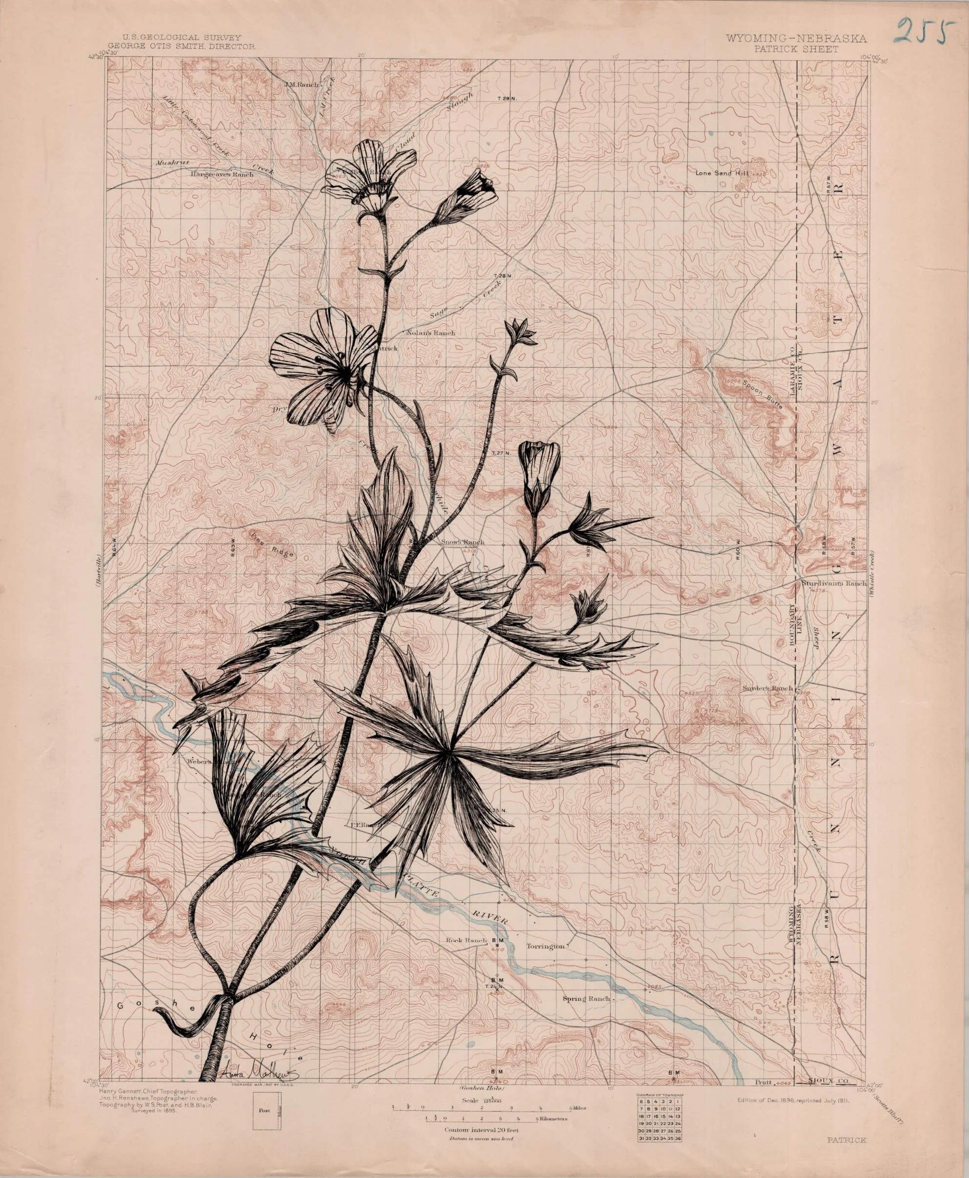 Image 2 of 2
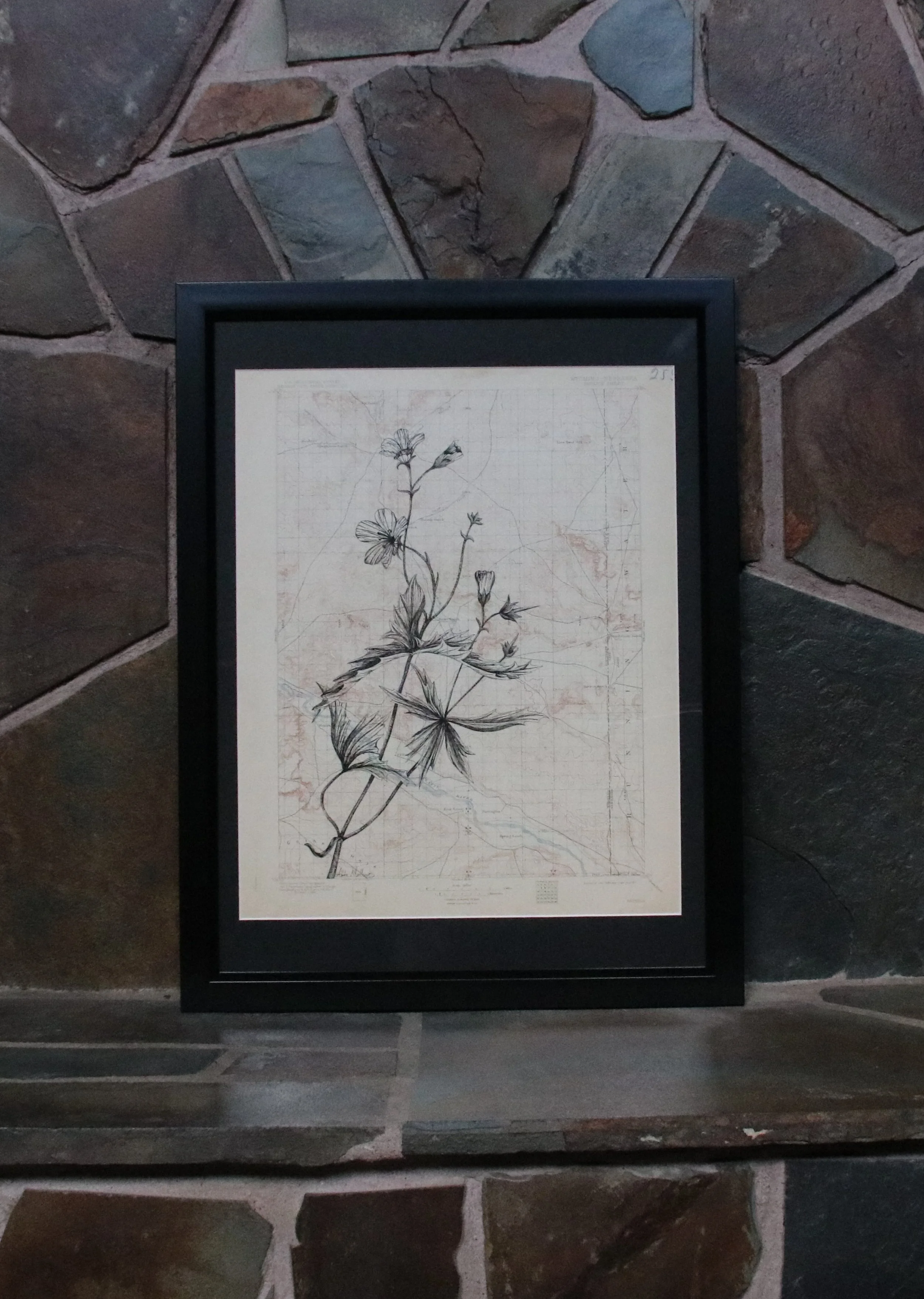
The U.S. Geological Survey (USGS) was created in 1879 and published its first topographic map in 1882. Systematic topographic mapping was authorized by Congress in 1884. Although 1:24,000-scale topographic maps were produced by the USGS as early as 1904, a formal program to provide primary topographic map coverage at that scale for the entire conterminous United States did not begin until 1947 and was not completed until 1992.
Marvin Ratcliff, my grandfather, collected a series of these topo maps, labeled with numbers in the upper righthand corner. Marvin was an avid explorer and geologist who helped me form my love for our natural world. So from him to me to you, enjoy this bit of history and beauty.